Cheonggyecheon
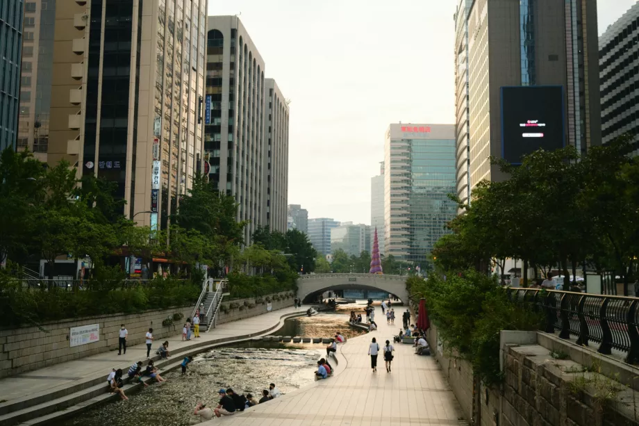
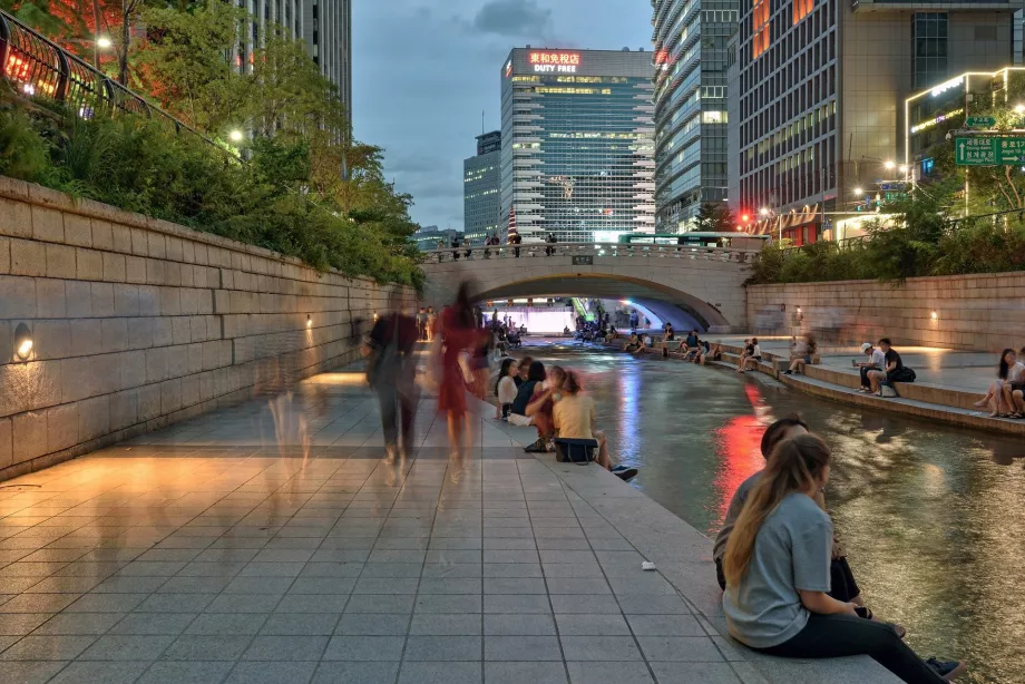
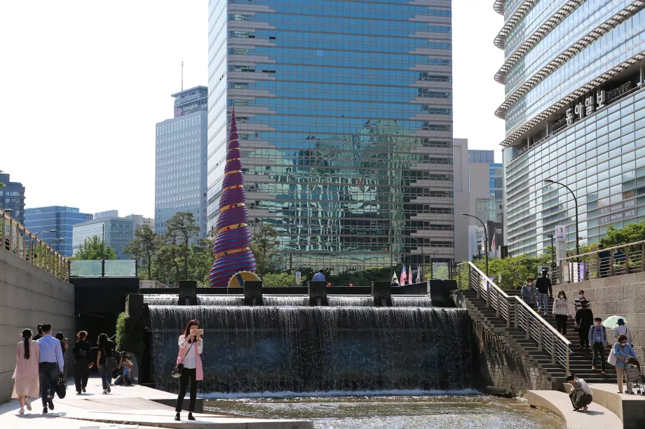
Over 10 km long popular recreation zone was created right in the centre in the shadow of skyscrapers along the eponymous stream flowing from the mountains. During Seoul's massive development in the 1960s and 1970s, the originally natural stream had to be sunk into a concrete bed and for many years was more of a sewer and an embarrassment to the city.
The 10 cheapest hotels in Seoul
At the turn of the millennium, however, a large-scale urbanization project took place that completely transformed the entire concrete riverbed into pedestrian promenades. The riverbed was cleaned up and made as natural as possible.
A place to walk and celebrate
The entire riverbed was landscaped from the west near the town hall to the east, where the park widens even further and effectively ends at the main Seoul Han River.
The fact that the entire length of the park is about 5 metres below the surrounding terrain makes it much quieter than the surrounding streets. This is one of the reasons why the clear riverbed attracts a wide variety of water birds, which can be found here all year round.
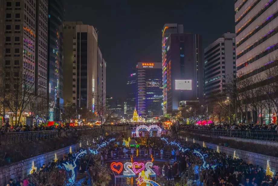
At the western end, near the town hall, New Year's Eve and major festivals are often celebrated.
Traffic along the park
Along much of the park within the city centre, the dark blue metro line 1 runs from the north, while the green line 3 runs from the south (always about 100 to 200 metres from the river).
Bus line 173 then runs directly along the street above the park (in the western half).
Apa yang bisa dilihat di sekitar
Temukan semua tempat yang dapat dikunjungi di Seoul.
Ada pertanyaan lagi?
Jika Anda memiliki pertanyaan atau komentar tentang artikel ini...
